Demolished building · Bruxelles
Océade
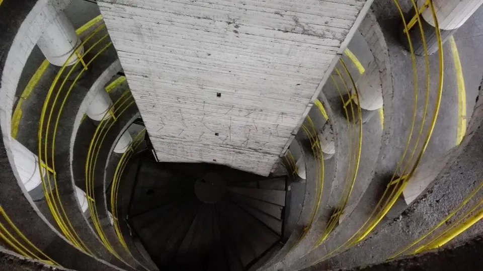
1988 – 2018
The Bruparck water park at Heysel, opened in summer 1988 and closed for good on 30 September 2018.
Sources : fr.wikipedia.org — checked on 1 October 2026
Horta's Maison du Peuple, the districts razed for the rail link, the buried Senne: what the city lost, when, and what replaced it. Every entry cites its sources.
1988 – 2018
The Bruparck water park at Heysel, opened in summer 1988 and closed for good on 30 September 2018.
Sources : fr.wikipedia.org — checked on 1 October 2026
1957 – 2017
A car park put up in 1957 in place of the north hall of the Central Halls, for visitors to Expo 58, which gave it its name.
In its place: Brucity, the City of Brussels' administrative centre (2022).
Note: The year of demolition (2017) comes from Wikidata.
Sources : fr.wikipedia.org, wikidata.org — checked on 1 October 2026
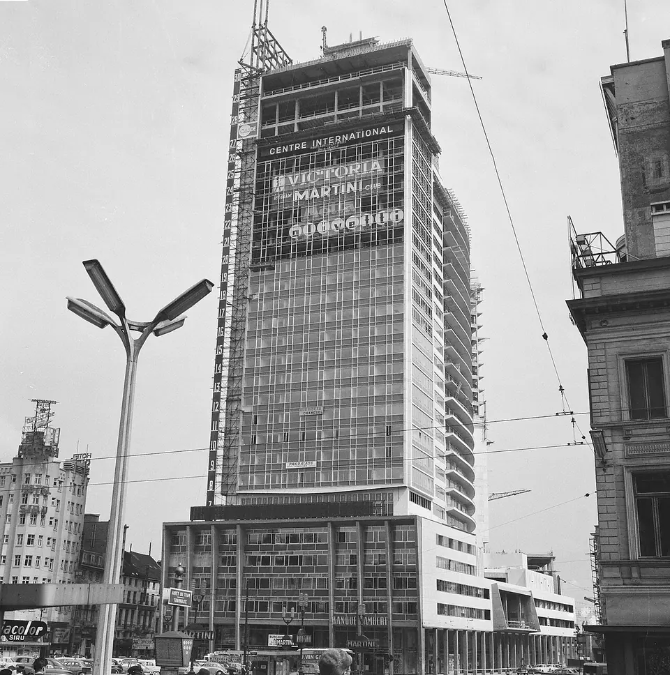
1961 – 2001
A multi-purpose building put up between 1957 and 1961 on the site of the old Gare du Nord, known for its large illuminated Martini sign.
In its place: Today's Rogier Tower (2001–2006).
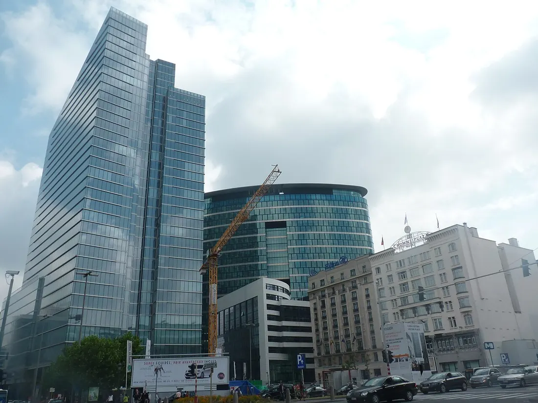
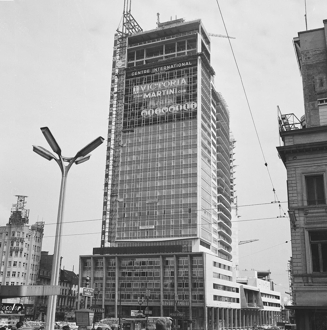 1963today
Sources : fr.wikipedia.org — checked on 1 October 2026
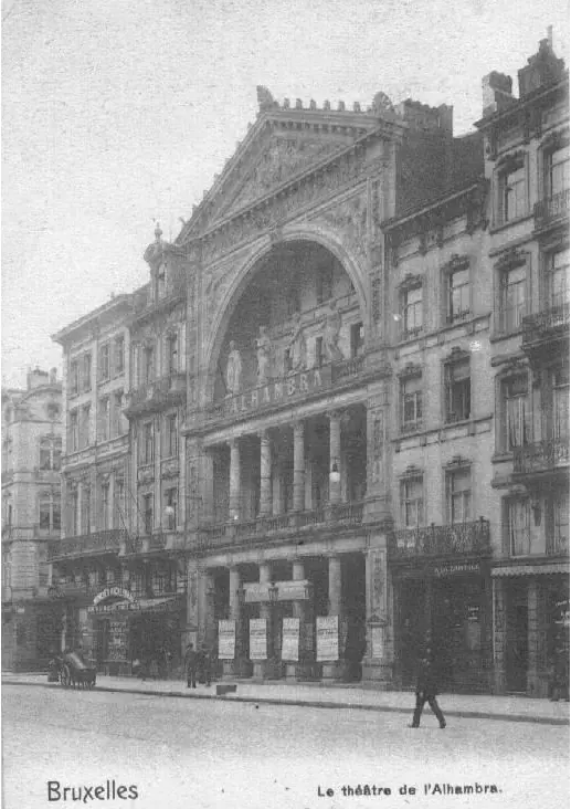
1846 – 1973
Opened in 1846 as the Théâtre du Cirque, once the largest hall in Brussels. Closed on 30 May 1957 and demolished in 1973 despite strong protests.
Sources : fr.wikipedia.org — checked on 1 October 2026
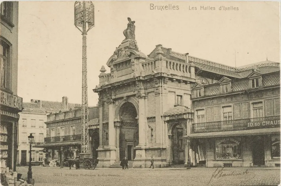
1879 – after 1945
A covered market opened on 20 November 1879 behind Saint-Boniface church. Condemned in 1936 as unsafe and demolished after the Second World War.
Note: The article does not give the exact year of demolition; Wikidata says 1971.
Sources : fr.wikipedia.org — checked on 1 October 2026
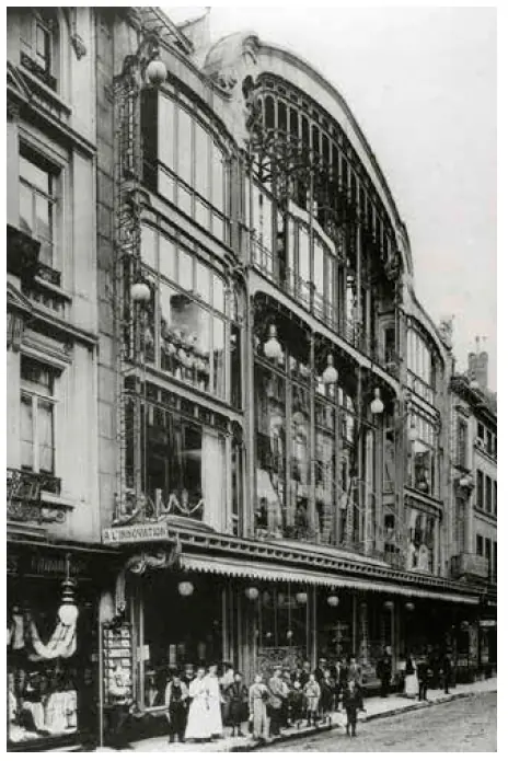
1901 – 1967
The department store on Rue Neuve, designed by Victor Horta. On 22 May 1967 a fire destroyed it, killing 251 people.
In its place: A new department store on the same site.
Sources : fr.wikipedia.org — checked on 1 October 2026
1913 – 1967
A 15,000-seat winter velodrome under a great glass roof, opened on 5 October 1913. The Rolling Stones played there in March 1966; last event on 16 November 1966, demolished in 1967.
In its place: The Brusilia residential tower (1972).
Sources : fr.wikipedia.org — checked on 1 October 2026
razed from 1967
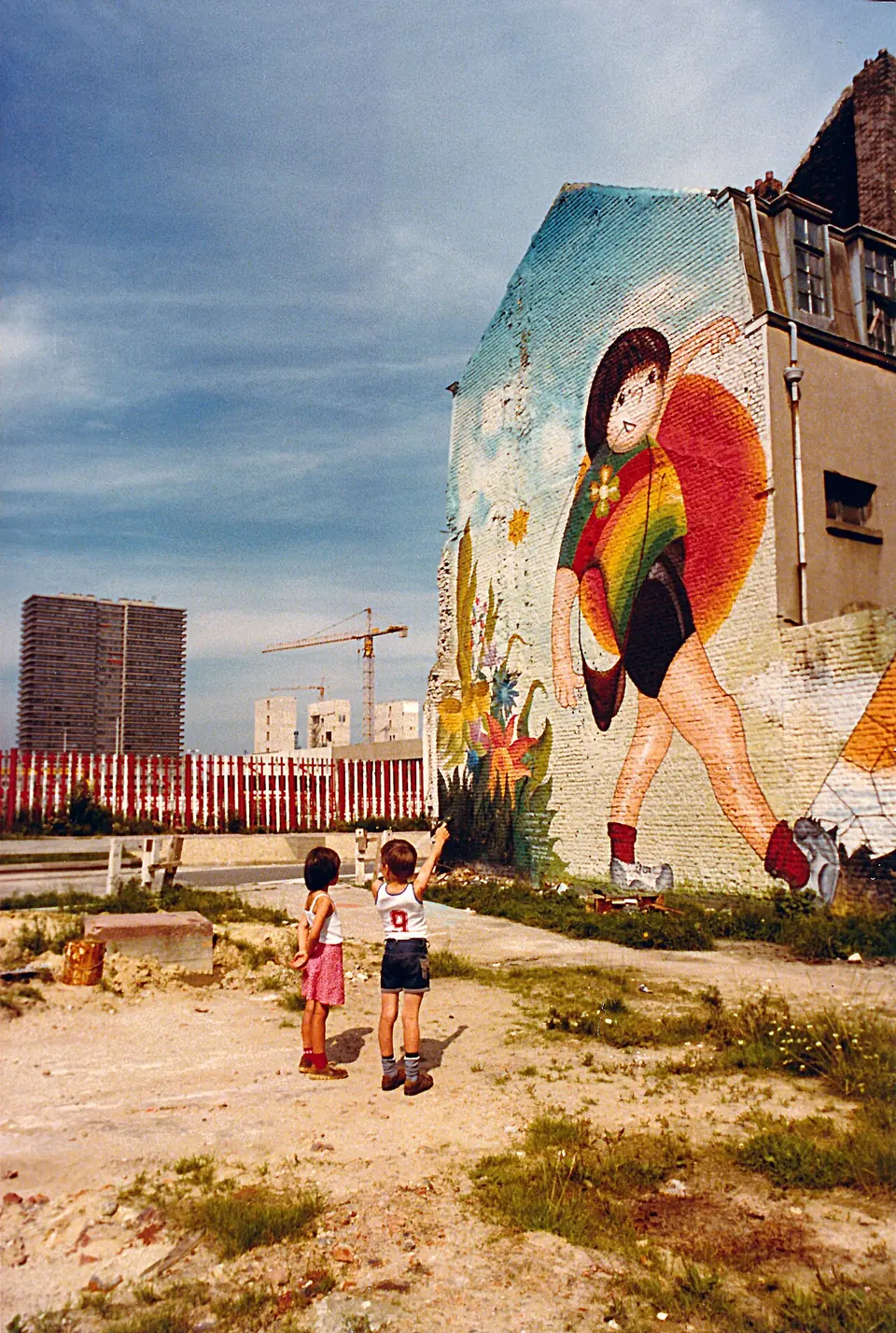
A working-class district that grew up near the Gare du Nord. The Manhattan Plan, approved on 17 February 1967, planned a business centre: most houses were destroyed and more than 15,000 residents evicted.
In its place: The office towers of the business district; the first opened in 1976.
Note: The number of residents evicted varies between sources.
Sources : fr.wikipedia.org, nl.wikipedia.org — checked on 1 October 2026 · approximate location
1892 – 1966
The main post office on Place de la Monnaie, opened on 20 November 1892 and demolished on 31 October 1966.
In its place: The Centre Monnaie, begun in 1968.
Sources : fr.wikipedia.org — checked on 1 October 2026
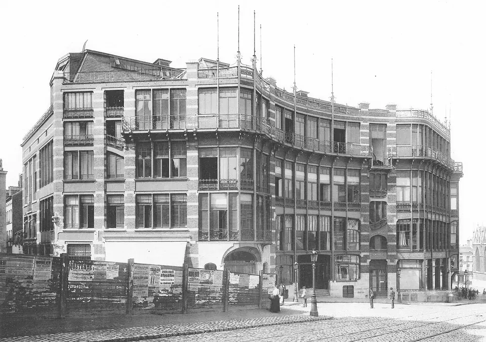
1899 – 1965
Victor Horta's Art Nouveau masterpiece, built for the Belgian Workers' Party and opened on 2 April 1899 in the presence of Jean Jaurès. Destroyed in 1965 despite Belgian and international protests; part of it was dismantled and numbered for a possible reconstruction.
In its place: The Sablon Tower, 26 storeys of offices, also known as the Blaton Tower.
Sources : fr.wikipedia.org — checked on 1 October 2026
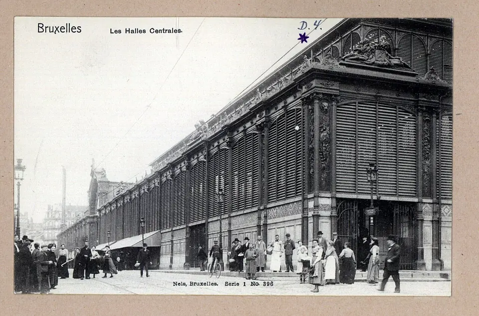
1874 – about 1963
Two glass and cast-iron halls built after the covering of the Senne. The north hall was demolished in 1956 for Parking 58, the rest around 1963.
In its place: Parking 58 (itself demolished), then Brucity, the City's administrative centre, completed in 2022.
Sources : nl.wikipedia.org, fr.wikipedia.org — checked on 1 October 2026
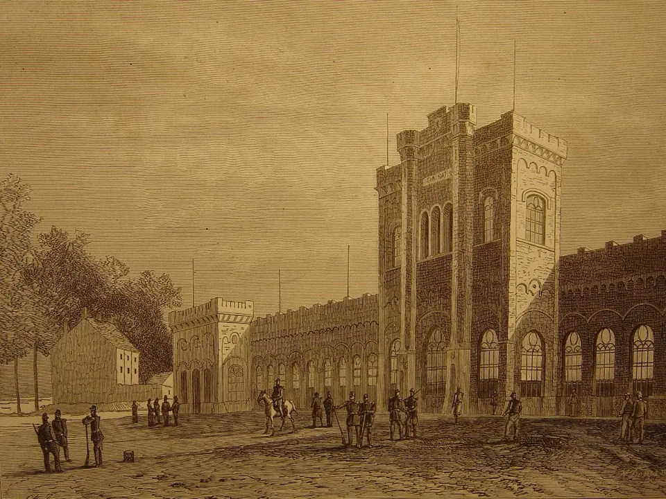
1889 – 1963
A 20-hectare shooting range opened in 1889 along Boulevard Reyers. Resistance members were executed there during both wars. Sold to the broadcasting service in 1962 and blown up on 29 April 1963.
In its place: The RTBF and VRT buildings; only the Enclos des Fusillés cemetery remains.
Sources : fr.wikipedia.org — checked on 1 October 2026
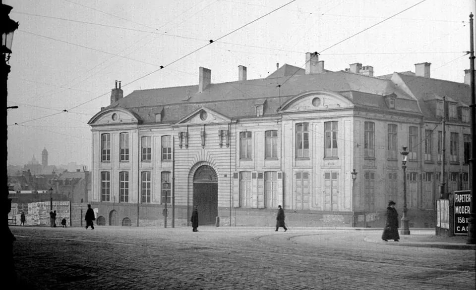
about 1590 – 1960
The Brussels residence of the d'Ursel family, on the Marché au Bois, occupied from the 1590s and demolished in 1960.
Sources : nl.wikipedia.org — checked on 1 October 2026
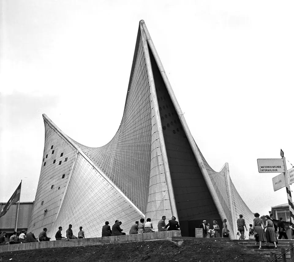
1958 – 1959
An Expo 58 pavilion designed by Le Corbusier's office, largely by Iannis Xenakis, for a sound and light show. Demolished after the exhibition.
Sources : nl.wikipedia.org — checked on 1 October 2026
1846 – 1956
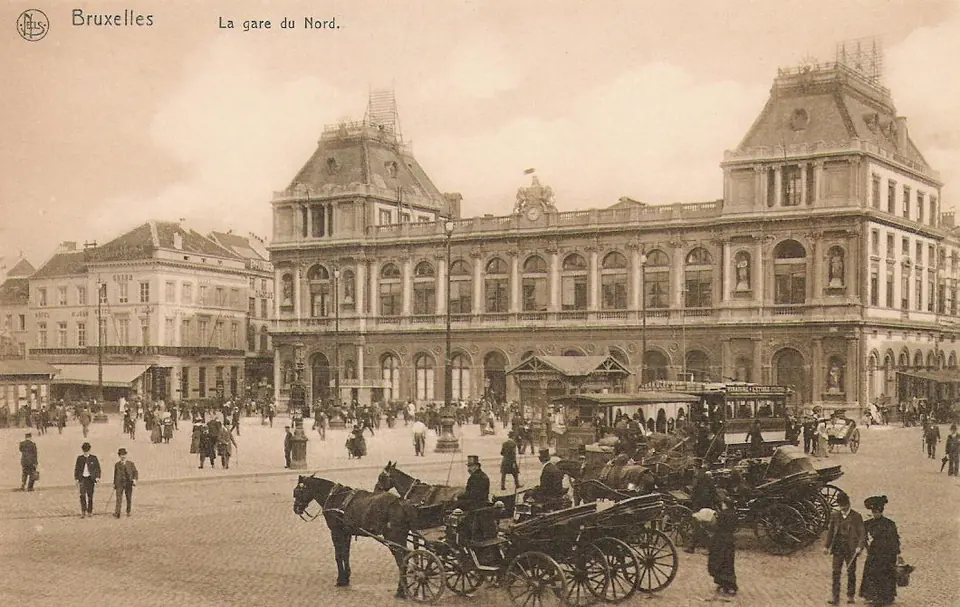
The terminus on Place Rogier, designed by François Coppens and opened in 1846. Today's station replaced it in 1952, a few hundred metres further north; the building was demolished in 1956.
In its place: The Centre Rogier (Martini Tower), then the Rogier Tower.
Sources : fr.wikipedia.org, nl.wikipedia.org — checked on 1 October 2026 · approximate location
1835 – 1954
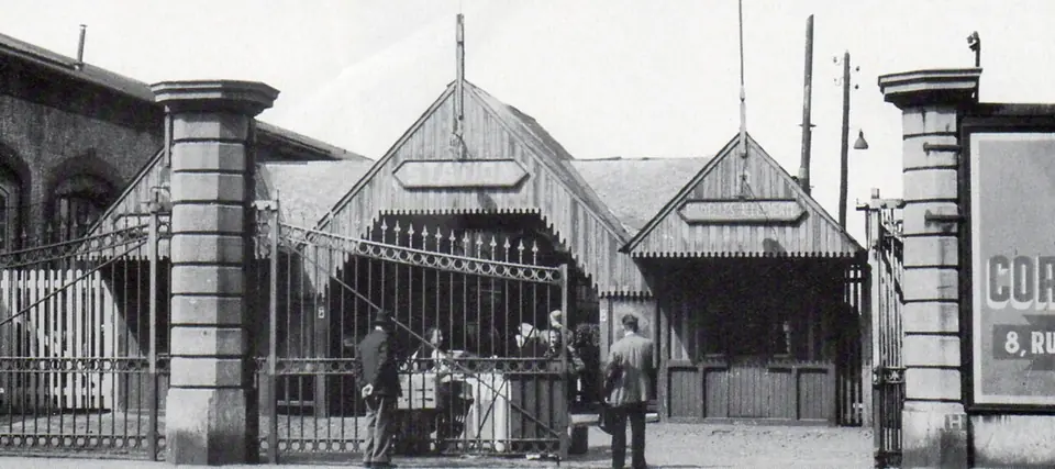
The first station in Brussels, opened on 5 May 1835 with the country's first railway line. Closed to passengers on 16 January 1954 and demolished between 1954 and 1958.
In its place: A Sabena heliport (1953–1966), then Parc Maximilien.
Sources : fr.wikipedia.org, fr.wikipedia.org — checked on 1 October 2026
1899 – 1950
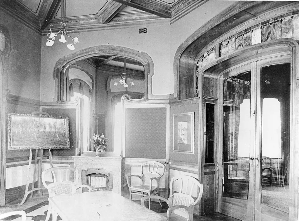
An Art Nouveau town house designed by Victor Horta for the industrialist Octave Aubecq. Destroyed in 1950; the main façade was dismantled and kept in the hope of a reconstruction.
In its place: A 12-storey building.
Sources : fr.wikipedia.org — checked on 1 October 2026
1869 – 1949
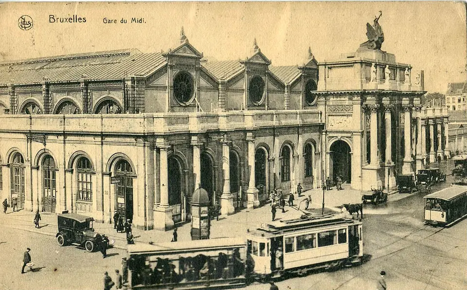
The first monumental Gare du Midi, opened in 1869 as a terminus. A second station replaced it in 1949, before the North–South link opened in 1952.
In its place: Today's Gare du Midi.
Sources : fr.wikipedia.org — checked on 1 October 2026 · approximate location
1555 – 1931
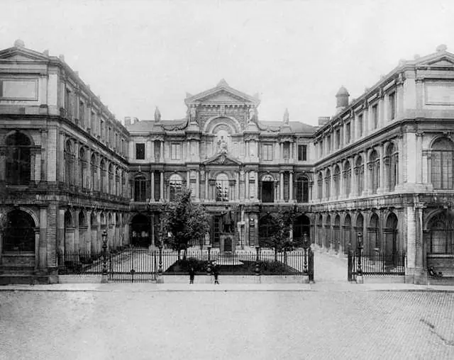
A Renaissance palace built from 1550 to 1555 for Cardinal Granvelle, the first example of Roman Renaissance in the Low Countries. The university left it in 1928; it was demolished in 1931.
In its place: The works of the North–South rail link.
Sources : fr.wikipedia.org — checked on 1 October 2026
razed from 1910
A working-class district between the Grand-Place and the upper town, home to about ten thousand people. For the North–South rail link, 970 dwellings were expropriated and demolished from 1910; only the Madeleine chapel escaped.
In its place: Central Station and the boulevards of the rail link, opened on 4 October 1952.
Note: The figure of ten thousand residents comes from the Dutch article only.
Sources : nl.wikipedia.org, fr.wikipedia.org, fr.wikipedia.org — checked on 1 October 2026
1561 – 1910
The Willebroek canal brought boats into the heart of the city. The Sainte-Catherine dock was filled in in 1853, the Barques, Foin and Commerce docks in 1910.
In its place: Place Sainte-Catherine, the Fish Market and the quays, which kept their names.
Sources : fr.wikipedia.org, fr.wikipedia.org — checked on 1 October 2026 · approximate location
demolished in 1897–1898
A very old working-class district on the slope of the Montagne de la Cour, around Rue des Trois-Têtes. The plan was voted in 1894 against the advice of Mayor Charles Buls; the district was demolished in 1897–1898.
In its place: Waste ground, a temporary garden for the 1910 Exhibition, then the Mont des Arts.
Sources : fr.wikipedia.org, nl.wikipedia.org — checked on 1 October 2026 · approximate location
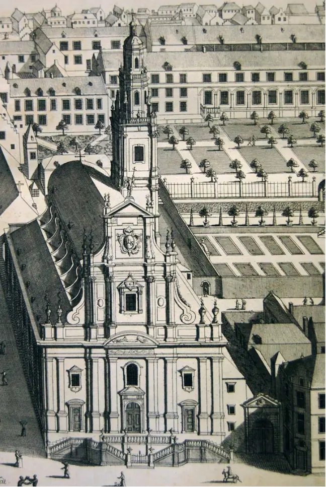
17th century – 1893
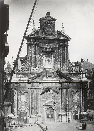
The Baroque church of the Augustinian convent, closed in 1796, later a Protestant temple. The new boulevards ran around it until it was demolished in 1893.
In its place: Place de Brouckère; its façade was rebuilt on the church of the Holy Trinity in Ixelles (1894).
Sources : fr.wikipedia.org — checked on 1 October 2026
1823 – 1892
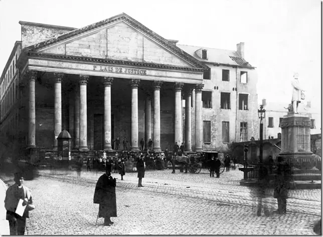
A neoclassical building put up from 1818 to 1823 by François Verly on the site of the Jesuit church. Replaced by Poelaert's palace, opened in 1883, and demolished in 1892.
In its place: Place de la Justice.
Sources : fr.wikipedia.org — checked on 1 October 2026
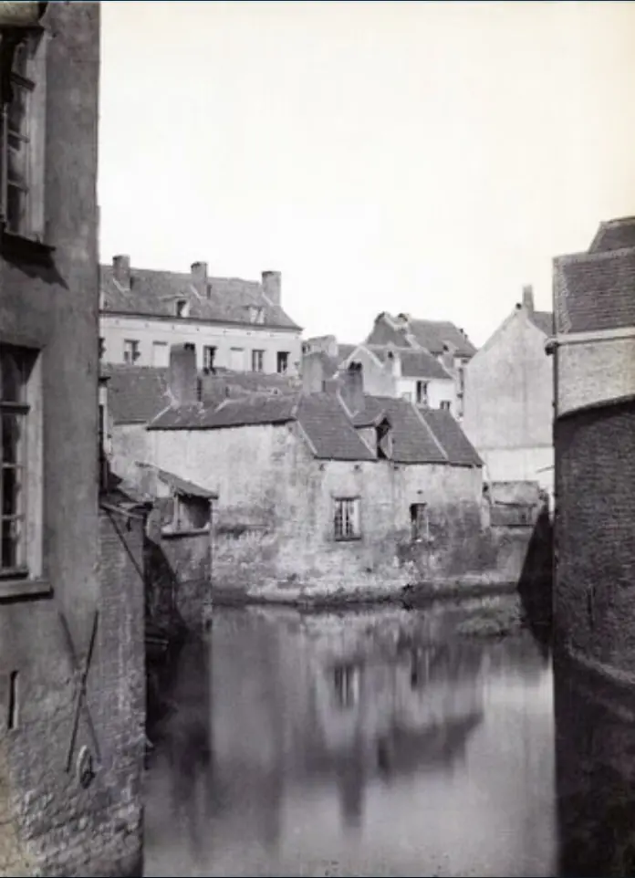
covered from 1867 to 1871
The river ran through the centre between tightly packed houses. The contract to cover it was signed on 15 June 1866; 1,100 houses were expropriated, work began in February 1867 and ended on 30 November 1871. Saint-Géry island vanished with the river.
In its place: The central boulevards, the Bourse and the Central Halls.
Sources : fr.wikipedia.org, fr.wikipedia.org — checked on 1 October 2026 · approximate location
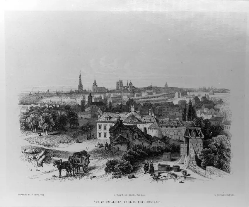
1672 – about 1860
A citadel built in 1672 to complete the second town wall, sold in 1782 on condition that it be demolished.
In its place: Rue du Fort and Rue des Fortifications, in Saint-Gilles.
Note: The same article dates the last remains to both 1860 and 1862.
Sources : fr.wikipedia.org — checked on 1 October 2026
1621 – 1812
A Baroque church by Jacques Francart on Rue de Ruysbroeck, attached to the city's first Jesuit college. Demolished in 1812.
In its place: The first Palace of Justice (1818–1823).
Sources : fr.wikipedia.org — checked on 1 October 2026
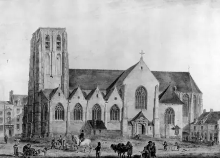
1584 – about 1800
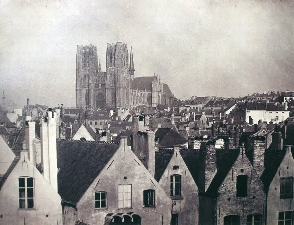
A Gothic church completed in 1584 on the large island in the Senne, linked to the founding of the city. Demolished under French rule, from 1798 to 1801.
In its place: A square, then the Halles Saint-Géry.
Sources : fr.wikipedia.org — checked on 1 October 2026
1383 – 1784
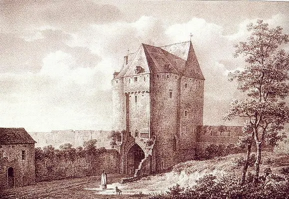
The second town wall was built from 1356 to 1383 and dismantled from 1782 to 1818. The Namur Gate, one of its gates, came down in 1784. Only the Halle Gate survives.
In its place: The boulevards of the inner ring.
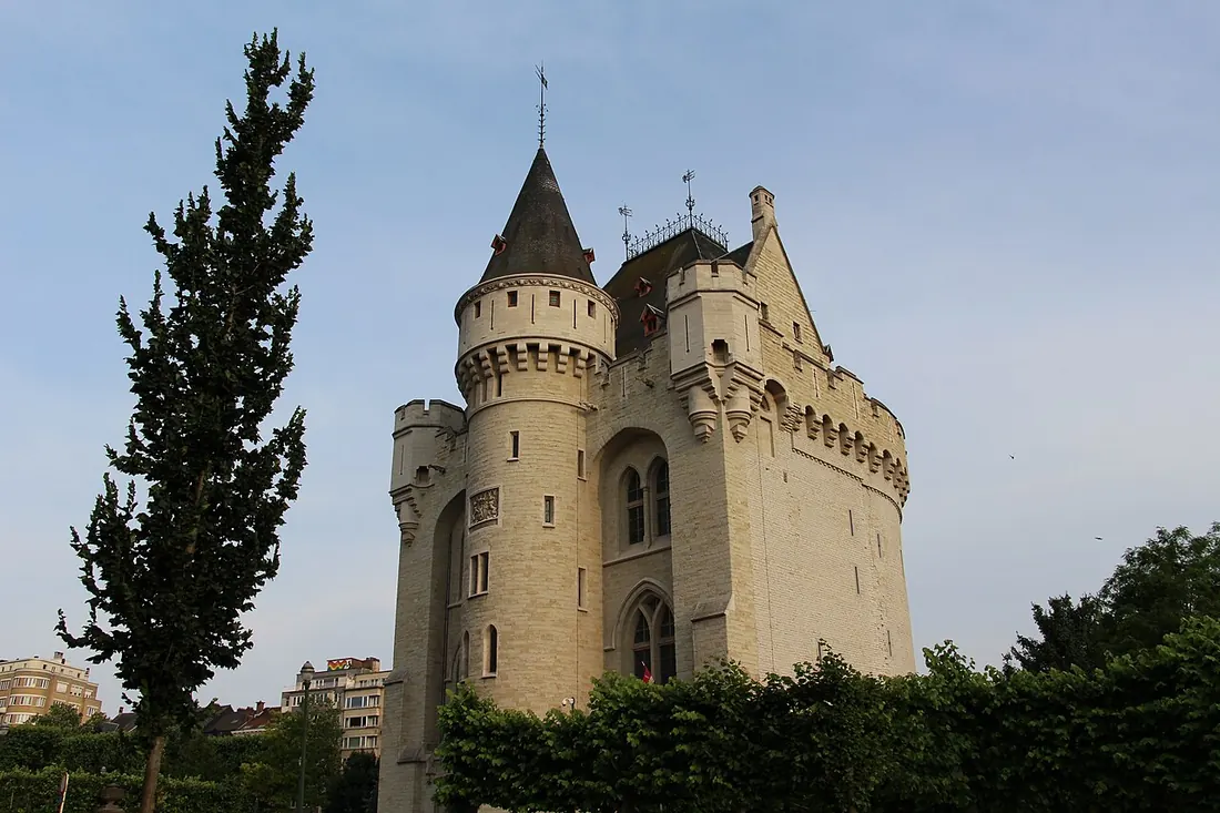
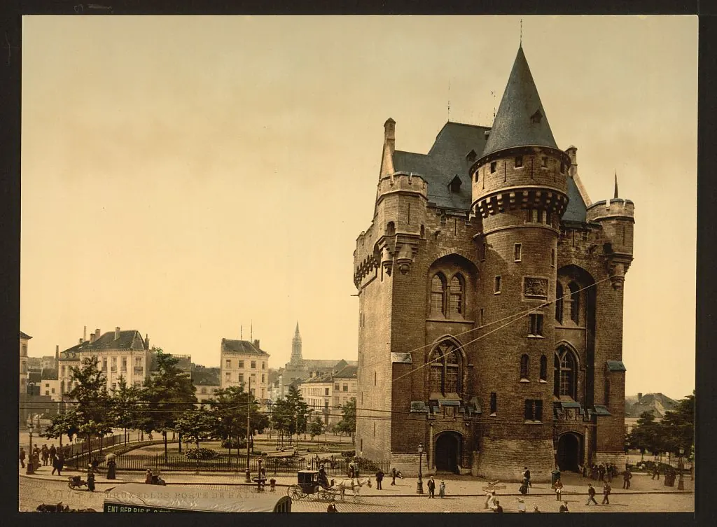 about 1890–19002015
Sources : fr.wikipedia.org, fr.wikipedia.org — checked on 1 October 2026
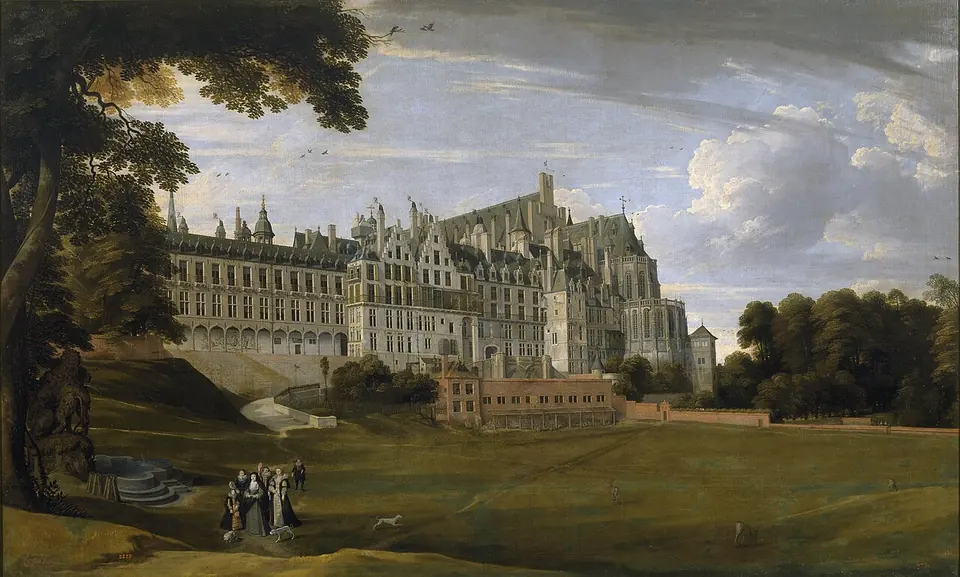
12th century – 1731
The rulers' residence for nearly 700 years, destroyed by fire on the night of 3–4 February 1731. The ruins stood for more than forty years, then were levelled between 1774 and 1778.
In its place: Place Royale and its district; the underground remains can be visited.
Sources : fr.wikipedia.org — checked on 1 October 2026
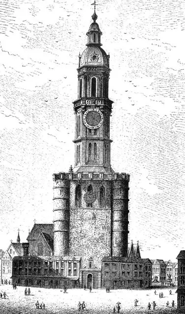
recorded in 1289 – 1714
A tall medieval tower in front of Saint-Nicolas church, a symbol of civic freedoms, not to be confused with the Town Hall tower.
Note: The year it disappeared (1714) comes from Wikidata.
Sources : fr.wikipedia.org, wikidata.org — checked on 1 October 2026
razed in 1568
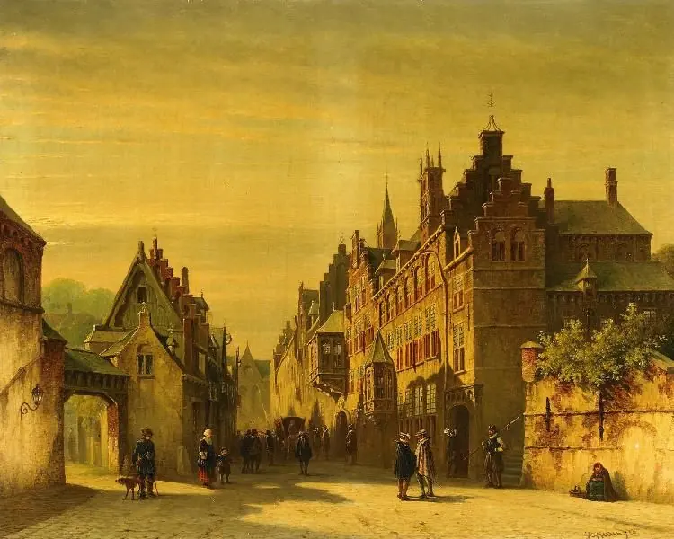
The Culemborg residence at the Sablon, where the 'Beggars' Banquet' was held on 5 April 1566. The Spanish razed it on 28 May 1568.
Sources : fr.wikipedia.org — checked on 1 October 2026